Sunshine Islands Bus Simulator route numbers
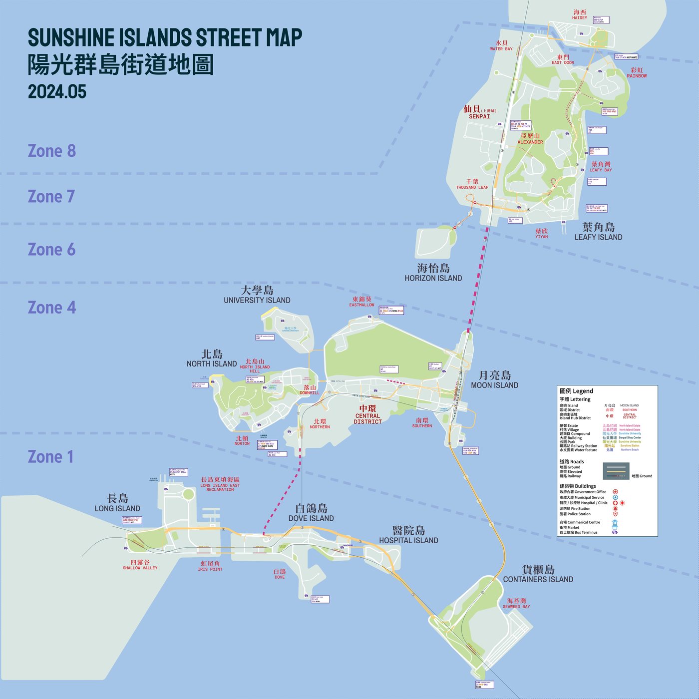
Two digits mean the run stays inside one zone (first digit is the zone); three digits mean it crosses zones (first two digits are the zones it connects).
Route numbers here are a code, not decoration: two digits stay inside one zone, three digits cross zones, and a letter in front or behind says what kind of service it is.
Inner-zone routes: two digits
Inner-zone numbers combine two digits. The first is the zone served; the second is effectively the district or corridor inside it. There are no single-digit routes.
| Zone | Prefix | What the second digit covers | Examples |
|---|---|---|---|
| Zone 1 | 1x | Routes that do not use Dove Island | None currently running |
| Zone 1 | 2x | Routes that run via Dove Island | 21 Dove Island / Hospital Island circular, 25 Long Island to Containers Island |
| Zone 4 | 4x | 41 via Norton, 42 via Central's inner roads, 46 via Eastmallow, 47 and 48 connect islands, 49 via North Island Hill | 42, 46, 47, 49 |
| Zone 7 | 7x | 70 and 72 via Senpai, 71 and 77 via Alexander, 73 via YiYan, 74 connects places, 75 via Rainbow and East Door, 76 via Leafy Bay Estate | 73, 75, 76 |
| Zone 6 | 6x | Under development | None currently |
| Zone 8 | 8x | Routes inside Zone 8 are still signed as Zone 7 services | None yet |
Zones 2, 3 and 5 are open water only, so no route numbers start with 2, 3 or 5 as an inner-zone prefix — those digits appear only in inter-zone numbers.
Inter-zone routes: three digits
Every inter-zone route has three digits. The usual pattern is ABx, where A is the zone it leaves from (the smaller number) and B is the zone it terminates in. The same number is used in both directions.
| Number | Reading |
|---|---|
| 462 | Zone 4 to Zone 6 |
| 475 | Zone 4 to Zone 7 |
| 670 | Zone 6 to Zone 7 |
| 140 | Zone 1 to Zone 4, via the Western Harbour Tunnel |
| 370 | Zone 1 to Zone 7, via the Central-Western Bridge |
Routes ending in Zone 1 are the exception, because it is reached three ways: 1Bx via the Western Harbour Tunnel, 2Bx tunnel one way and Central-Western Bridge the other, 3Bx over the bridge.
The final two digits of an inter-zone number usually still hint at the districts served when most stops sit in Zone 4 or Zone 7, which is why 475 and 47 read like relatives.
Letter prefixes: what kind of service it is
| Prefix | Meaning | Example |
|---|---|---|
| N | Overnight route (excluding 24-hour services) | N171 |
| R | Special route for events, holidays or festivals | R370 |
| S | Sightseeing route (meaning from 1 January 2025) | S1 |
| U | University service | U47 |
| Y | Typhoon diversion, used when signal no. 8 or higher is up or Desire Bridge closes | Y370, 25Y |
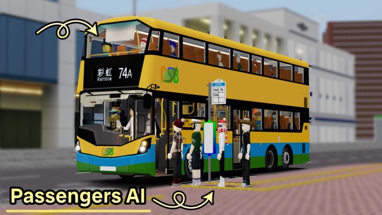
| C | City Scape Bus staff shuttle — the C is hidden on the destination display | C01 |
| F | Forever Transit staff shuttle | F701 |
| M | Training or metro replacement, entered as a code rather than shown as a route | M2, M3 |
Letter suffixes: how the pattern differs
| Suffix | Meaning | Example |
|---|---|---|
| X | Express | 246X |
| P | Peak hours only | 141P |
| R | Event extra, such as services after a stadium event | 171R |
| Y | Typhoon replacement of the base route | 25Y |
| A / B | Branch of the same series | 49A |
| S | Context dependent: rush hour, late night or event special | 76S |
Route codes you can type into the tablet
The driver tablet accepts codes that are not printed on the timetable. These come from the community wiki's own testing:
| Code | Result |
|---|---|
| M2 | Training display |
| M3 / MTS | Staff Shuttle (Forever Transit and REBC buses) |
| PH | Private Hire sign for an unscheduled run |
| PH1 | Private Hire routing with GPS and announcements, but only while a private hire is a Daily Challenge |
| Q02 / Q03 / Q04 | CSB training, crew bus and special service displays |
Enter a code a company has no exposure for and you get its logo instead; suspended codes put the V1 routing on the GPS while announcements and passenger stops stop working.
Choosing your first routes
- Start inside one zone. Two-digit routes have shorter runs, more stops and forgiving timing.
- Then cross water. A bridge or tunnel at 70 km/h changes your stopping distance completely.
- Leave N, R, Y and S routes until later. Overnight, event and weather services assume you know the road.
Where the full list lives
The community wiki keeps a page per route with terminals and diagrams; the official site publishes operators and the timetable.